
April 2009
Mobile Felt
Infographic Illustration
.svg)
Scroll to see full case study
Overview
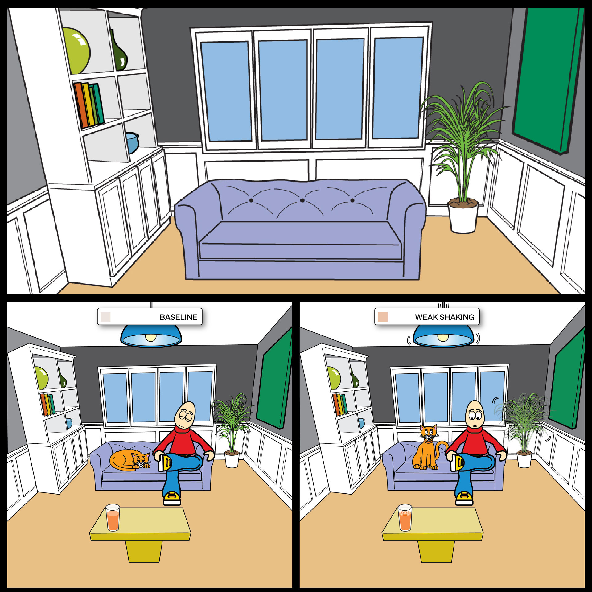
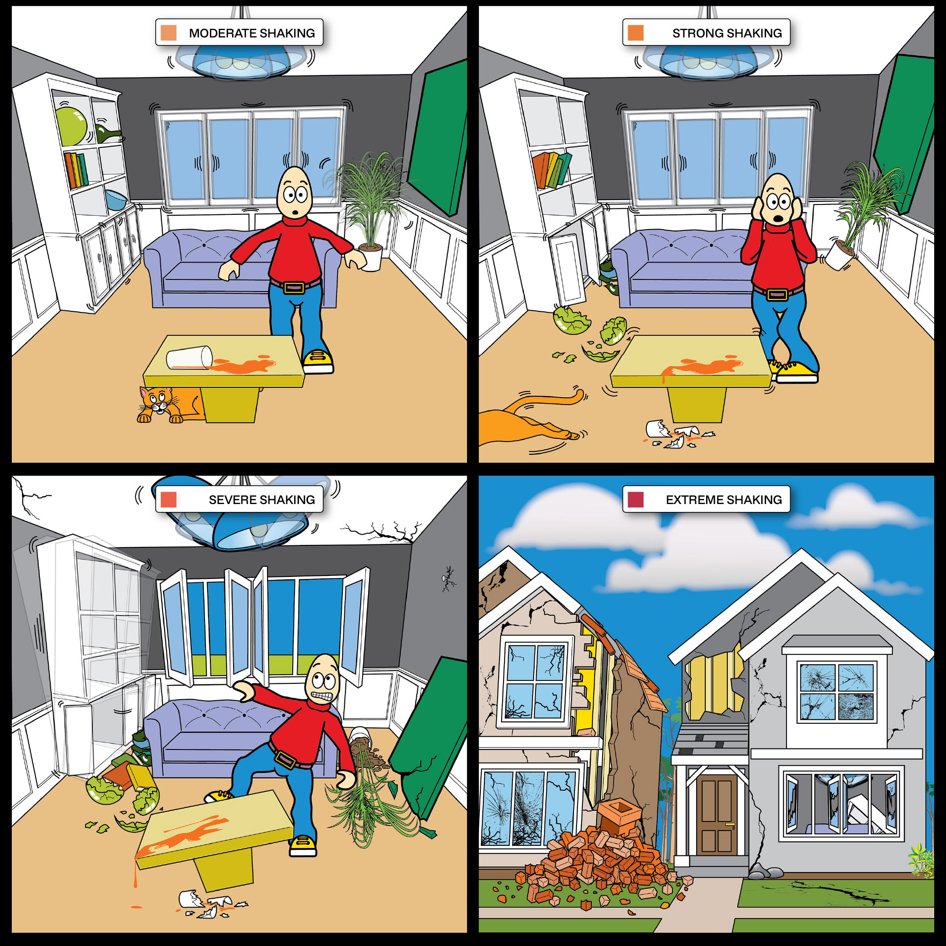
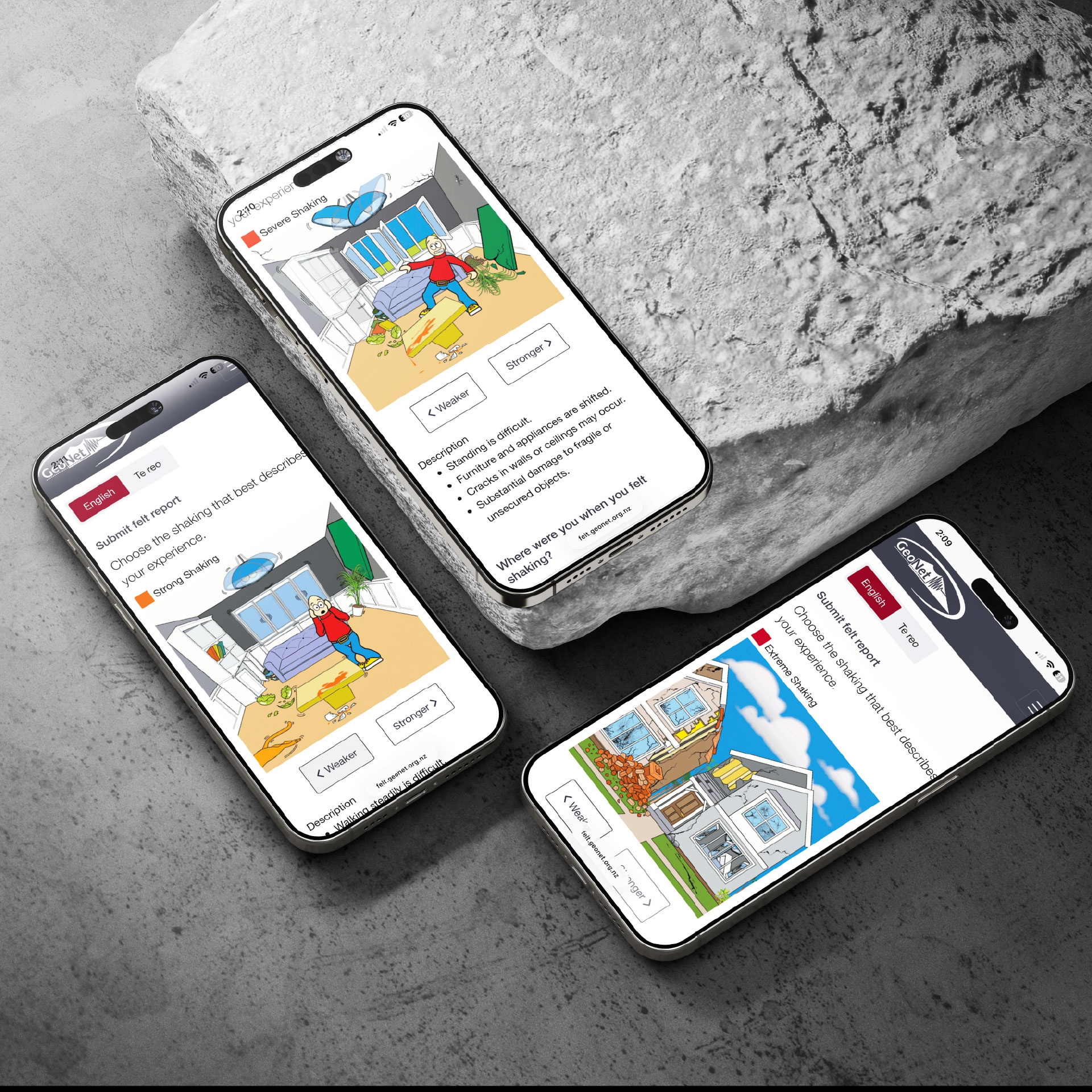
GeoNet’s Mobile Felt function required a clear visual tool to help users identify and report the intensity of shaking they experienced. A playful yet considered 2D illustration was developed to translate earthquake magnitude into an accessible visual language, using simple forms, colour, and scene details to communicate movement and reinforce each shake level.
No items found.
Design Brief
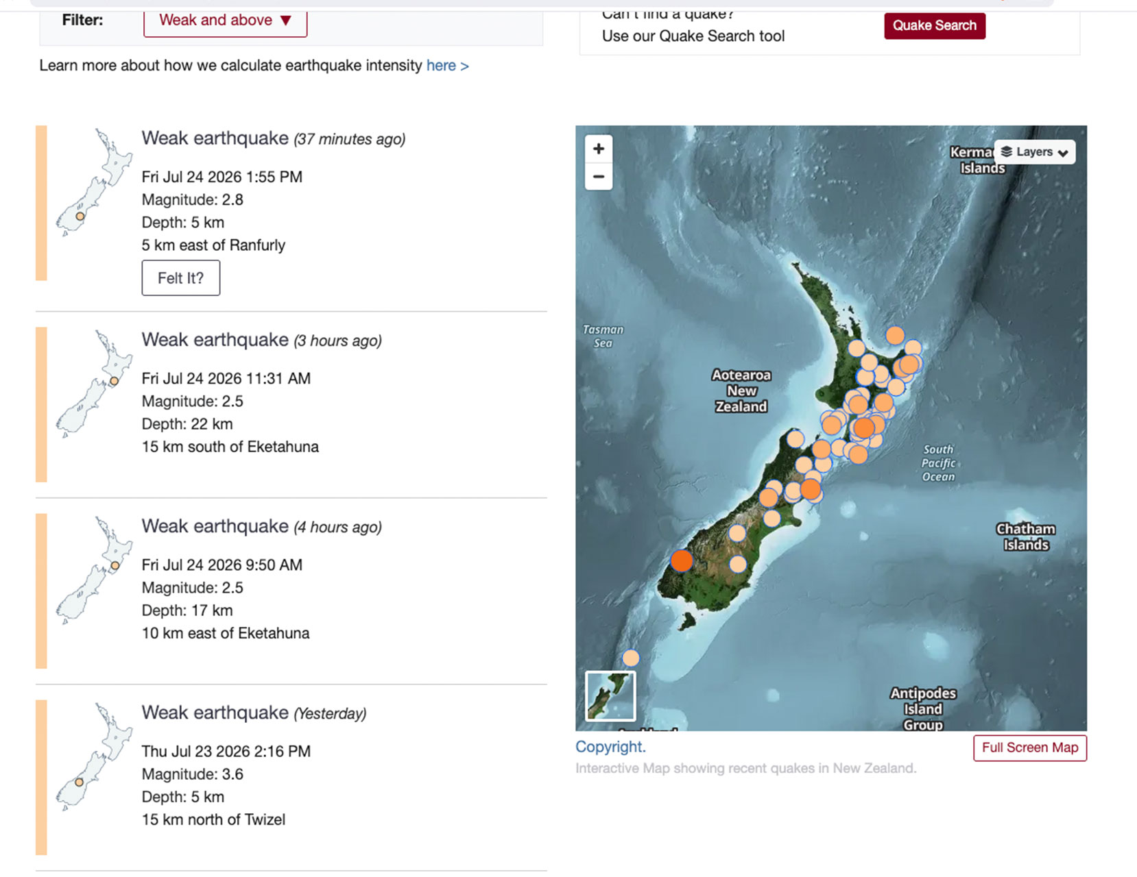
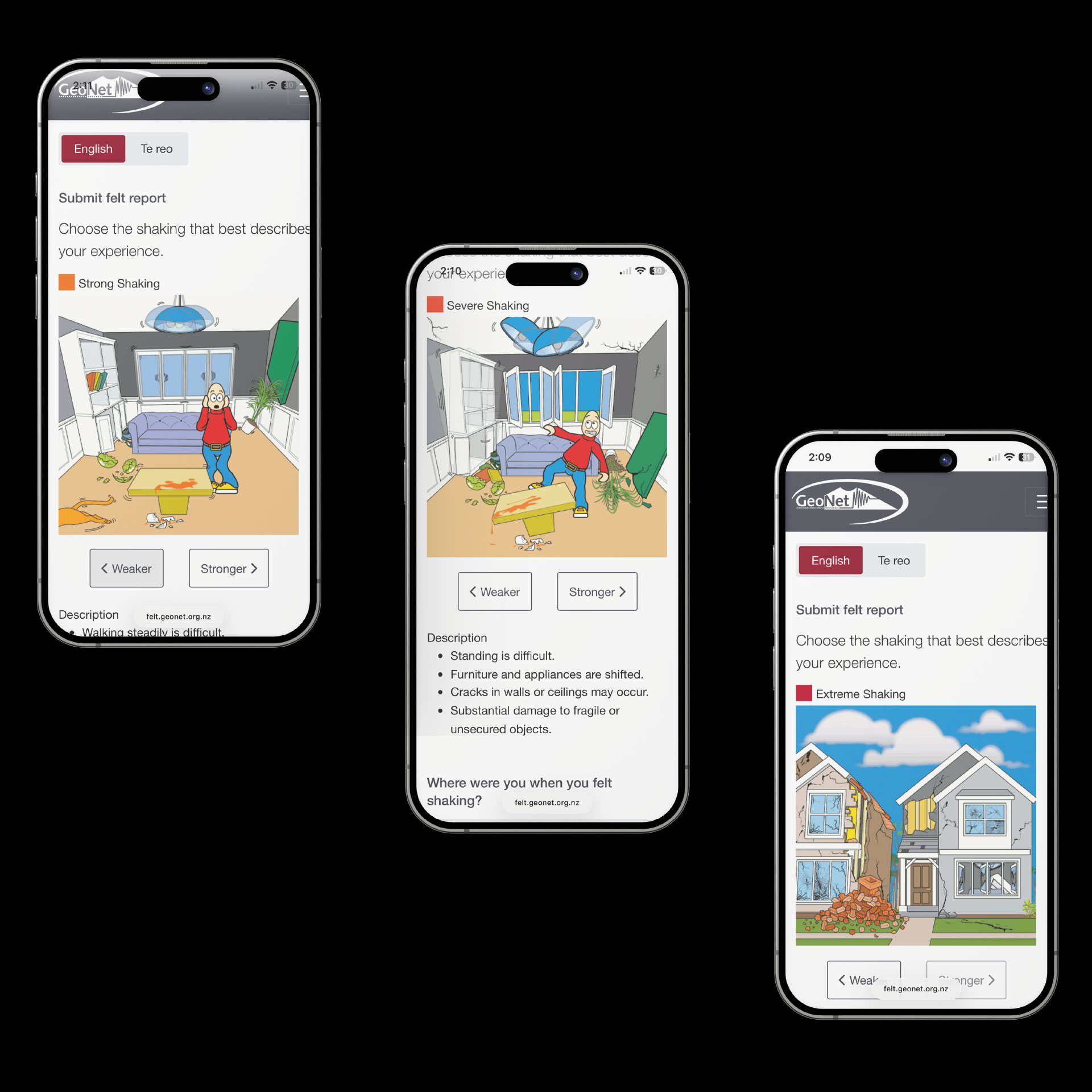
The Mobile Felt feature in the GeoNet Earthquake app enables users to report their shaking experience by selecting the closest match. To support accurate data collection, the interface required a clear and intuitive way for users to recognise and identify the level of shaking they felt.
Communicating earthquake intensity in a user-friendly way posed a challenge, as real-world references are inherently chaotic and unsuitable for direct depiction. A simplified 2D illustration approach was used to present relatable, easy-to-read scenarios. Key objects and an animal were incorporated to help visualise movement across intensity levels, making it easier for users to interpret and accurately report their experience.
Design Outcome
No items found.
Explore
projects
projects
